Videogrammetry
Creating 3D models with your iPhone
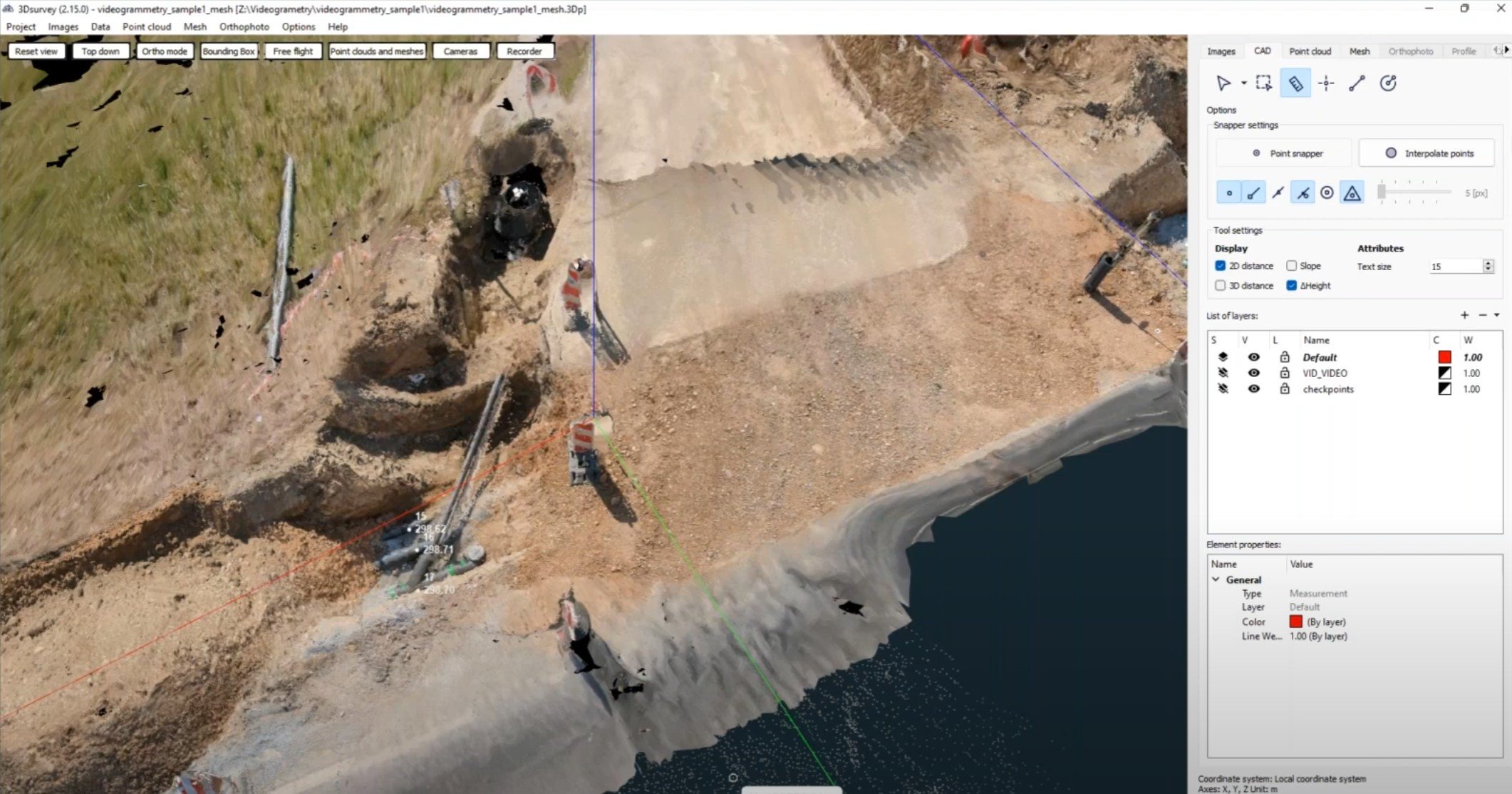
A surveyor documenting infrastructure often faces the problem of arriving on the field too late, when the infrastructure is already backfilled. This means that infrastructure measurements are not accurate or they cannot be made at all.
3Dsurvey uses videogrammetry to map infrastructure and create a realistic 3D models, enabling simple and accurate data capture.
Applications:
Construction as built
Measure material pile volumes
Indoor mapping
Quick documentation
Augmented reality
3D Survey RTK Camera
Survey-grade accuracy added to your professional DSLR or Smartphone! Perfect for:
Terrestrial and Helicopter Photogrammetry
UAV Photogrammetry
Building Industry
BIM & Infrastructure
City Modeling
Archaeology
Geology
Monument Conservation
Surveying
Natural Hazards
Documentation
The technology is based on a multiband GPS, GLONASS, Beidou, Galileo receiver in combination with an NTRIP correction data reception from your local provider. An App allows you to connect to this casters via internet and receive correction data, enabling this GNSS chip to calculate your exact geolocation coordinates. These coordinates are automatically applied in single Apps like 3D Survey’s RTK Camera app or even streamed into your whole android system for any application.
If you already have a Android 9+ device, 3D Survey’s Smartphone RTK devices include everything you need to get started.


