01
Locked-in stacks
Buy the whole platform from one vendor, or the pieces stop talking to each other.
WestLat is a boutique survey firm, decades in the field. We replace or augment the tools you already run, with no long-term vendor commitment. You keep the flexibility. You keep the value.
RTK accuracy is a given now. The catch is how you get it: sign into one vendor's stack, take their upgrade cycle, and pay for it on every job for years.
Buy the whole platform from one vendor, or the pieces stop talking to each other.
A product line goes end-of-life and the only path forward is a full, expensive replacement.
You pay for a heavy platform when the job needed one deliverable, delivered clean.
Data goes off to a black box and comes back days later, after the crew has moved on.
Pick the piece you need. Drone mapping, network corrections, the software that ties field gear together, or a full data service where we capture and process for you.
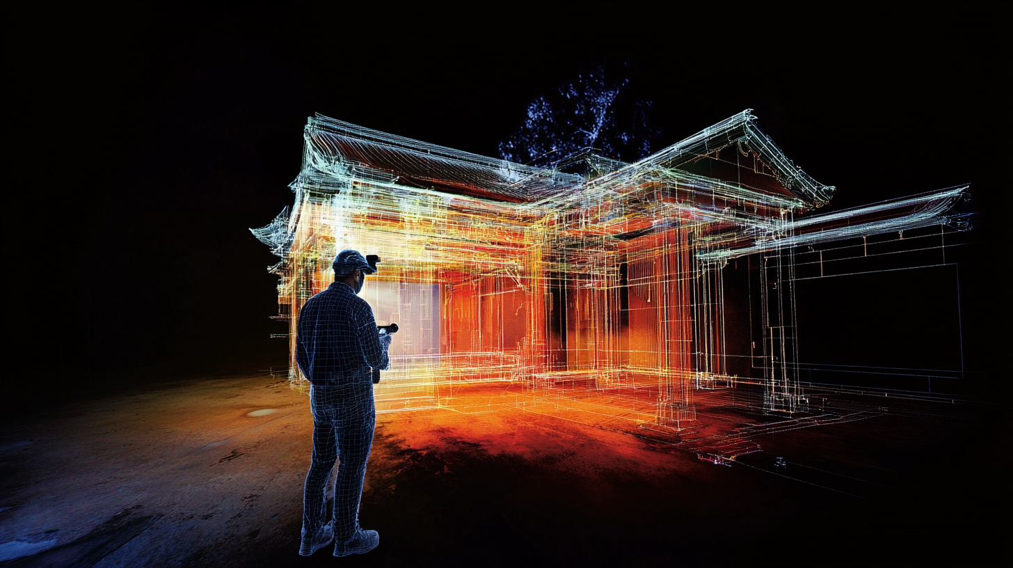
Drone plus GNSS control into measurable point clouds, surfaces, and orthos.
Centimeter corrections over cellular. No base station to set up, power, or babysit.
Our own field app that pairs with receivers across brands and simplifies corrections.
No kit to buy. We fly it, scan it, and hand back the deliverable your project needs.
The same three moves on every job, whether you hand us the whole thing or just the last mile.
Drone flights and ground scans tied to survey-grade GNSS control, so the data is measurable from the first pass.
Raw point clouds become surfaces, volumes, orthos, and CAD-ready linework, checked against control.
The file your project actually needs, in the format your crew works in, without the multi-day wait.
 Power Line Corridor Survey
 Drone Crew In The Field
We are a decades-old small business with a track record of delivering value across the projects surveyors actually run.
Drone plus GNSS to survey-grade 3D. Workflow, deliverables, turnaround.
HPRTK network corrections over cellular. No base to babysit.
Simplified corrections and receiver setup across a mixed fleet.
We capture and process, and hand back the deliverable. Book a demo.