01
Highway & corridor
Long, linear mapping where topo by foot would burn days and lane closures cost money.
We fly the site, tie every pass to survey-grade GNSS control, and process it into point clouds, surfaces, and CAD-ready linework. Not pretty pictures. Measurable ground.
The same three moves every job runs on, tied to control from the first pass so the data holds up.
Planned drone flights with ground control tied to survey-grade GNSS, so scale and position are locked in.
Imagery becomes a dense point cloud, then surfaces, contours, orthomosaics, and volumes, checked against control.
CAD-ready linework and surfaces in the format your crew works in, ready to drop into the project.
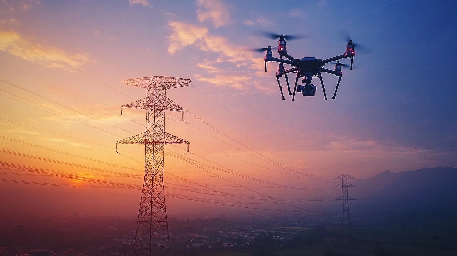 Power Line Corridor
Pick the deliverables the project needs. We can hand back one clean file or the full set.
Long, linear mapping where topo by foot would burn days and lane closures cost money.
Route survey and existing-condition capture across ground that is slow to walk.
Dense point clouds of complex sites, captured fast and safely from the air.
Surfaces and volumes for grading, stockpiles, and as-built checks against design.
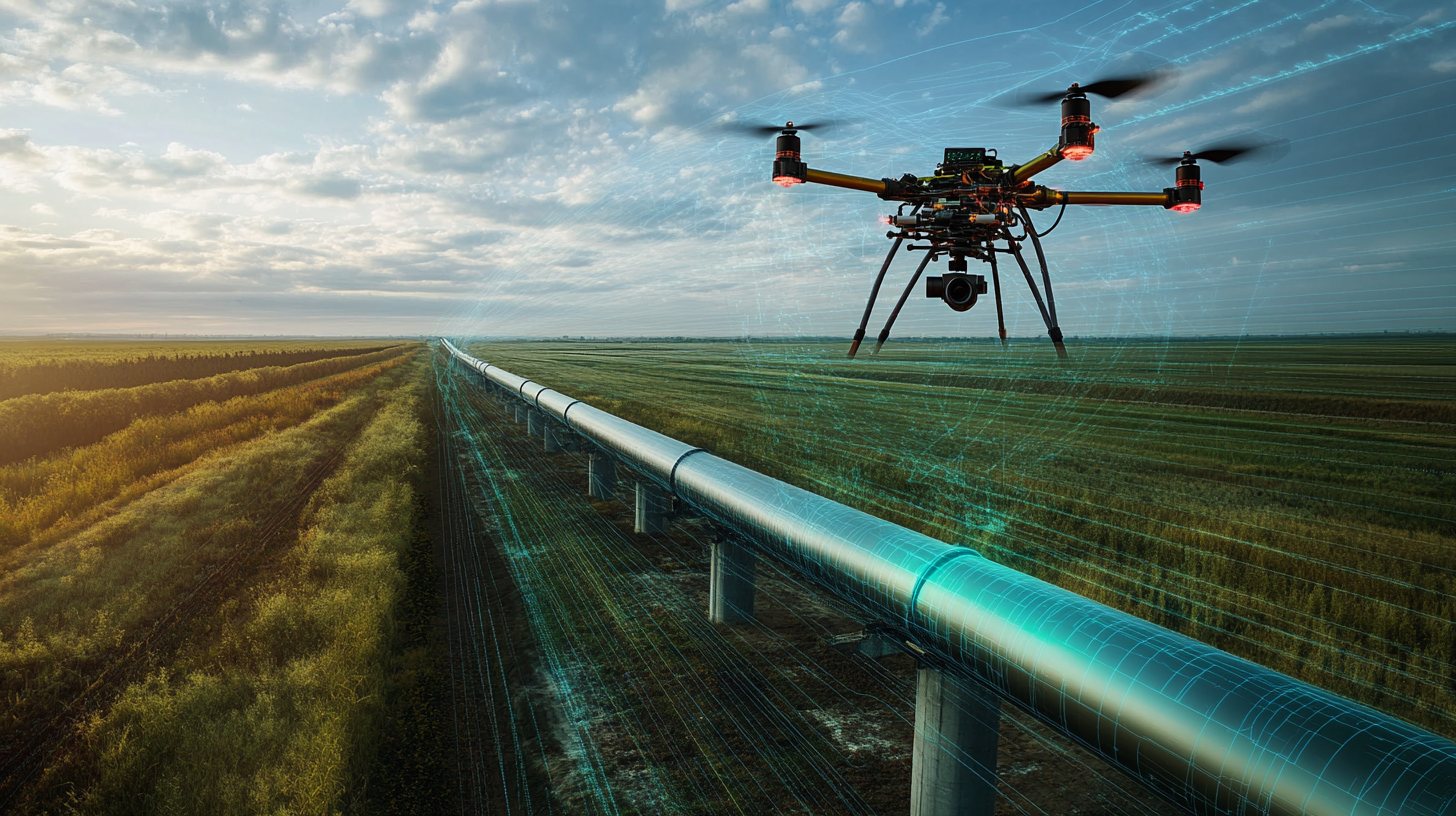 Pipeline Route Capture