VISUAL SURVEYING
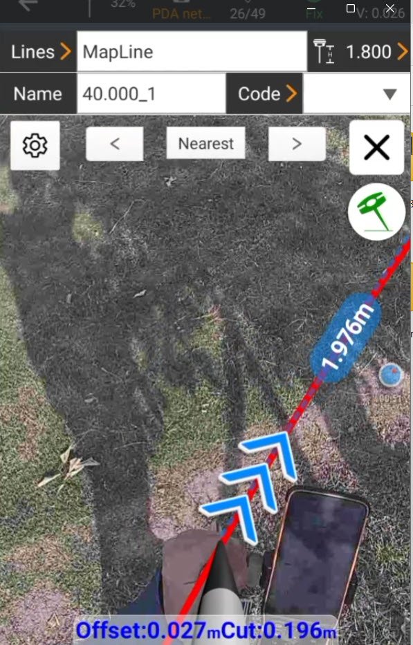
Visual line Stake-out
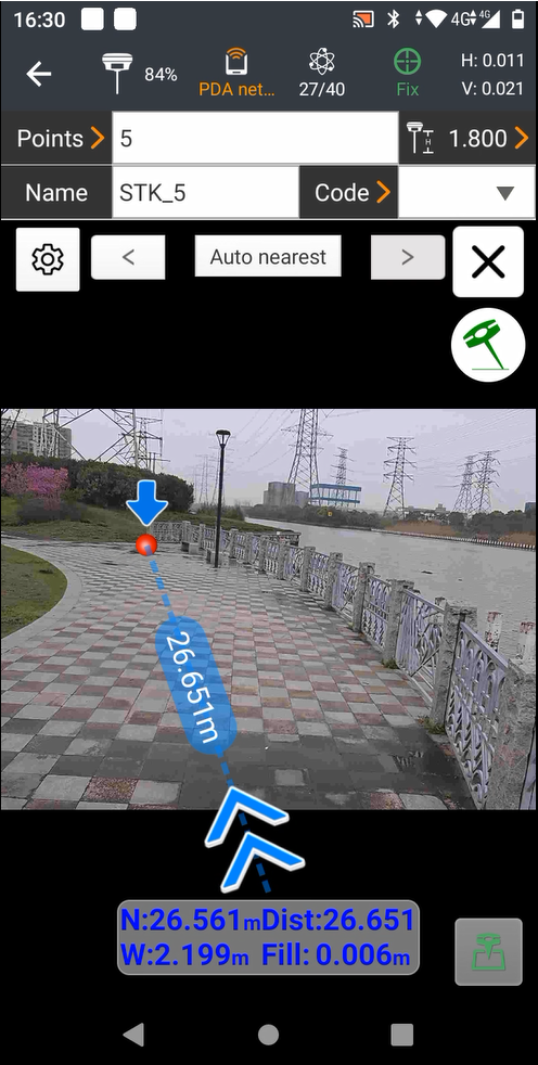
Visual Point Stake-out
AUGMENTED REALITY - maximizing your efficiency
CHC NAV
LandStar 8
Visual Survey Field Software
live bearing/distance drawings
layered background reference drawings
surface building
volume calculations
Deed plotting
single point localization
verified surveys
alignment surveys
foundation surveys
surface staking
GIS Shapefiles
COMPATIBILITY
Landstar 8’s simple and intuitive interface runs on the latest android phone s and tablets.
Direct data interchange with other popular data collection software
ls8 import types: dxf, dwg, shp, kml, Kmz, crd, crdb, loc, dc, jxl, cal, lok, cSS, XML.
LS8 EXPORT TYPES: JXL, VECTOR FILES, DAT, CSV, TXT, DXF, DWG, SHP, KML, HTML, STARNET.DAT, GPS


